English
 Español
 Deutsch
 日本語
日本語 Polska
 Français
 中國
中國 한국의
한국의 Українська
 Italiano
 Nederlands
 Türkçe
 Português
 Bahasa Indonesia
 Русский
 हिंदी
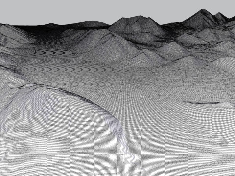
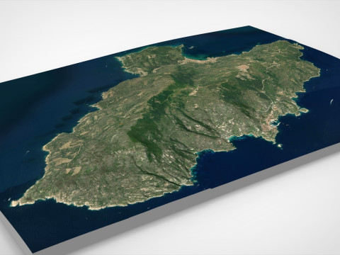
हिंदीMount The Butler Range New Zealand 3D 模型


- 可用的格式: 3DS MAX: max 304.47 MB
渲染: Standard
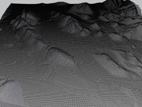
- 多边形:1134412
- 顶点:579492
- 动画:No
- 纹理:
- 操纵:No
- 材料:
- 低聚:No
- 集合:No
- UVW 贴图:
- 使用插件:No
- 打印准备:No
- 3D扫描:No
- 成人内容:No
- PBR:No
- 人工智能培训:No
- 几何:Polygonal
- 包装 UVs:Mixed
- 日期:512
- 日期: 2024-11-15
- 项目 ID:541299
- 评分:
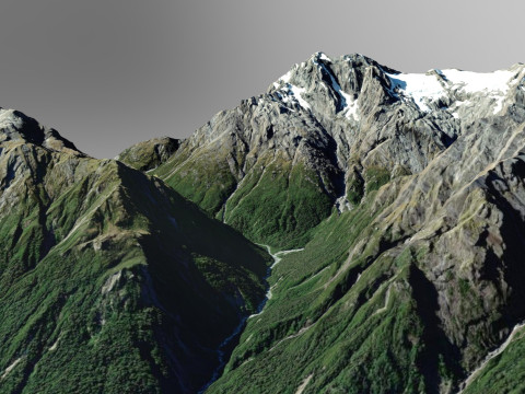
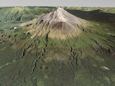
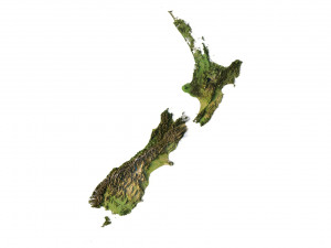
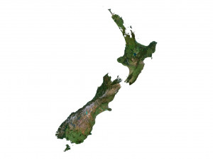
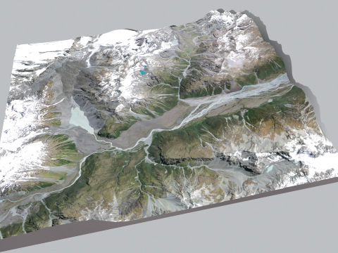
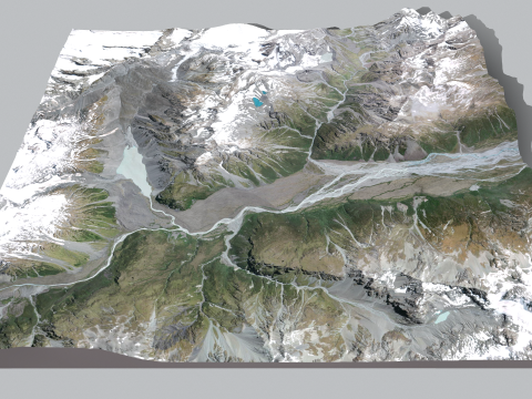
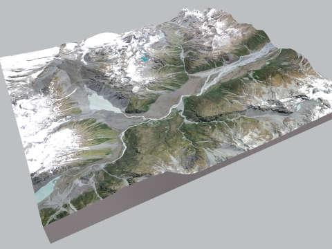
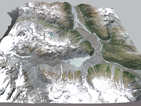
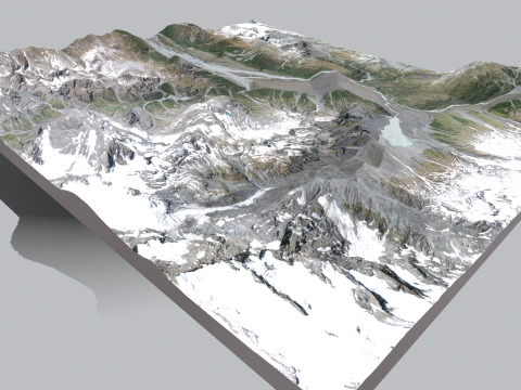
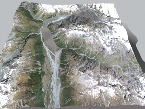
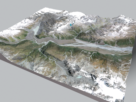
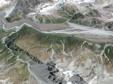
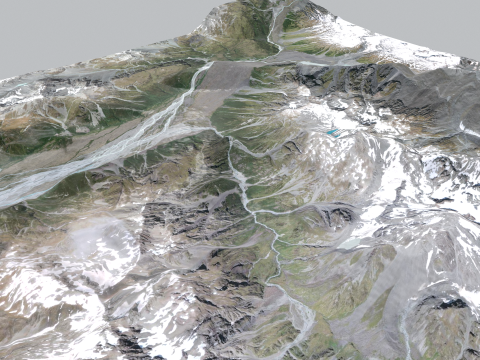
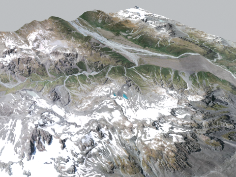
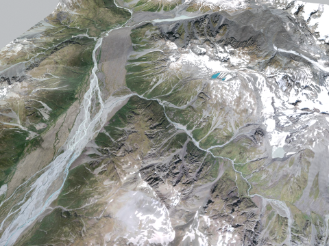
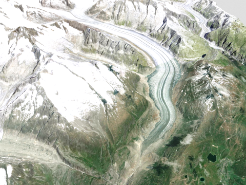
Mount The Butler Range New Zealand
The Butler Range is a ridge located in the Ashburton region of Canterbury on the South Island of New Zealand. The Rakaia River flows to the south of the ridge. This territory was first cultivated by Samuel Butler, who called his property Mesopotamia Station. The highest peak in the Butler Range is Lauper Peak at 2,485 meters (8,153 ft), named after the Swiss-born explorer Jacob Lauper.
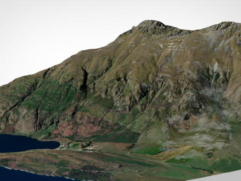
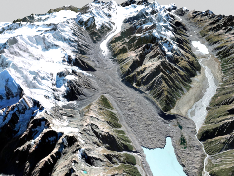
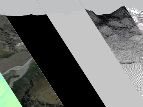
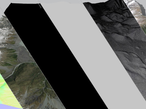
Is a high quality model. Models possible to use in any project. Originally modelled in Blender 2.91.2 and 3ds max 2015. Final images rendered with Corona render 1.7 and Marmoset Toolbag 3
Model resolutions are optimized for polygon efficiency. All colors can be easily modified. Model is fully textured with all materials applied. No cleaning up necessary, just drop your models into the scene and start rendering. No special plugin needed to open scene.
File formats:
ready to 3d print
3ds Max 2015 (.max)
OBJ (Multi Format)
3DS (Multi Format)
FBX (Multi Format)
Marmoset Toolbag 3 scene with materials
Unitypackage
(blend) Blender 2.91.2
(dae) Collada
Keyshot 10 scene
Stl (stereolithography)
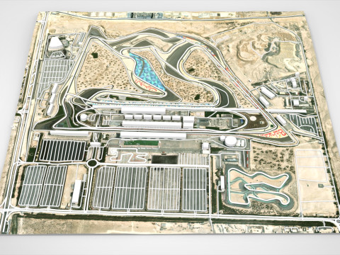
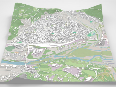
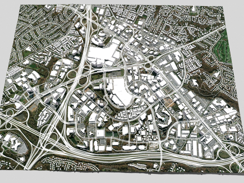
If you need to make a model of any piece of land or city, write to us and we will fulfill your order
打印准备: 否如果你需要一个不同的格式,请打开一个新的支持票和为此请求。我们可以转换到 3D 模型: .stl, .c4d, .obj, .fbx, .ma/.mb, .3ds, .3dm, .dxf/.dwg, .max. .blend, .skp, .glb. 我们不转换 3d 场景 以及 .step、.iges、.stp、.sldprt 等格式。!